 Watersheds play a multi-functional role in every community. Aside from providing water for domestic, agricultural, and industrial purposes, watersheds in good condition serve as habitats to various plant and animal species and play ecological functions that keep flooding and other natural disasters at bay.
Unfortunately, not all watersheds in the country are in pristine status. Some are already affected by deforestation, pollution, and other unsustainable practices of humans, who are oblivious of the potential adverse effects. In addition, climate change, ballooning population, and industrialization exacerbated the hazards to the sustainability of watersheds.
To prevent further degradation on a national scale, strategies that enhance watershed management, despite existing threats, are necessary.
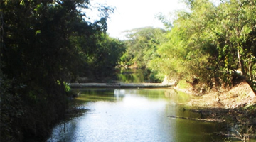
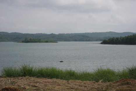
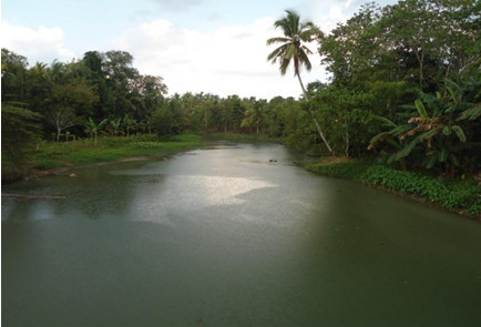
A team of researchers from the University of the Philippines Los Baños (UPLB), Mariano Marcos Memorial State University (and Natural Resources- Ecosystems Research and Development Service, Region XI (DENR- ERDS Reg. XI) studied three selected watersheds across the country. These include Pagsanjan-Lumban, Quiaoit River and Saug watersheds. The study follows a standard procedure and a uniform set of instrumentation for the entire network-member watersheds.  The pioneering watersheds are chosen to develop a network of learning watersheds as venues for collection and monitoring of key watershed resources and environmental services and establishment of a science-based policy database.
Based on the study, the team recommends five steps to manage watersheds with the participation of surrounding communities.
- Form a management team.
Locals, as primary recipients of benefits of watersheds in their area, are likely to be interested on initiatives protecting their water source.
A watershed project management team composed of at least a team manager and representatives from local government units (LGUs), non-government organizations (NGOs), state universities and colleges (SUCs), and DENR-Ecosystems Research and Development Service (ERDS) is formed to be part of the Community Watershed Stewardship Program. - Characterize the watershed.
A management strategy must be tailored to the current state and needs of the watershed; thus the importance of examining watershed’s physical, bio-ecological, and socio-economic attributes.
Characterization is done through geographic information system (GIS) mapping of the watershed, inventory and assessment of timber and non-timber and water resources, evaluation of land cover and land use, and socio-economic, livelihood, and politico-institutional profiling of communities and stakeholder analysis. - Assess the watershed’s vulnerability.
Environmental hazards are identified and modeled out to illustrate possible impacts to communities. This will help people visualize what courses of action to take in times of emergency situations, such as disasters. More so, biophysical and anthropogenic factors as well as pollution sources which increase vulnerability are noted. - Equip watersheds with necessary instruments and conduct real-time monitoring.
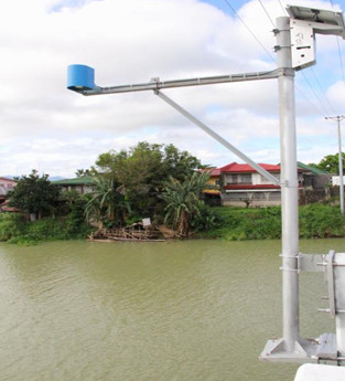
In instrumentation and monitoring, five aspects are closely observed, such as stream discharge, water quality, meteorology, biodiversity, and erosion and sediment yield.
There are multiple techniques in watershed monitoring. These are done through water level monitoring stations (WLMS) and automated weather station (AWS). The WLMS, a solar-powered measuring device and a remote data acquisition unit with satellite and communication capacity, monitor flow rates and stream discharge. Meanwhile, the AWS, through its rain gauge and sensors, checks rainfall and other climatic variables. For water quality, the physical and chemical properties are examined from various points along the river. Erosion plots and periodic grab water sampling in the main streams take note of soil erosion and sediment yield. Meanwhile, keeping a two-hectare permanent plot at strategic locations makes it easier to track down biodiversity species, regeneration, litter fall, and floral growth.
 - Develop an interactive online database for learning watersheds.
A web-based watershed management system database contains comprehensive watershed profiles, map compendiums, real-time monitoring and vulnerability assessment systems, and other pertinent data.
If updated and adopted by most local government units, this system is anticipated to be the basis of sustainable watershed management-concerns in the country.
Watersheds with management mechanism are envisioned to form part of the planned watershed network of research centers. These experiment hubs will supply information to build a database for future assessments of land use impacts and climate change on watershed functions. For more information, visit http://philwatershed.org.
